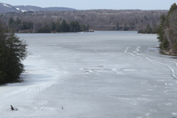
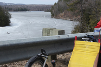
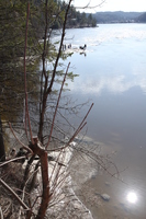
We had been watching a hockey net on the ice in a bay in the Gatineau River since January wondering if someone would rescue it. It looks like it was too late:
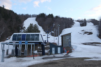
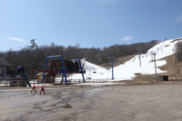
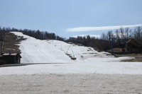
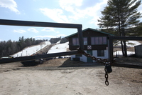
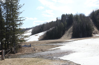
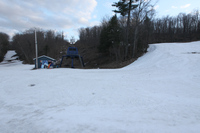
Mont Cascades World Cup lift:
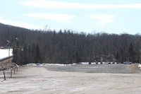
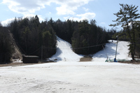
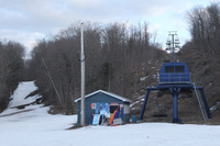
Mont Cascades main lodge:
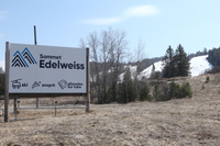
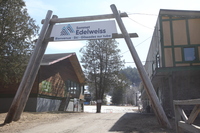
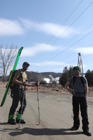
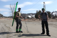
Edelweiss: I met two guys (one from NB and one from Adelaide) who had just climbed up and skied down. They live in walking distance.
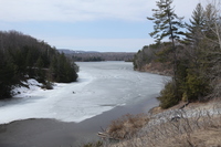
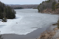
The Gatineau River at the Covered Bridge:
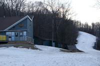
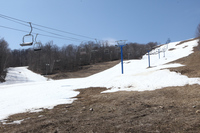
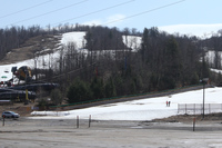
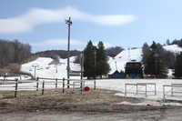
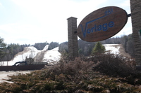
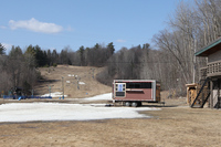
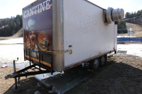
Vorlage: A woman was shutting down the chip stand.
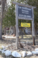
Wakefield:
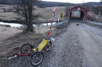
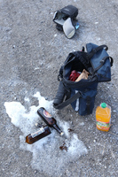
A covered bridge over the Meech Creek. Unfortunately I hit a washout and my pannier leapt off my rack trashing a fine Chambly (Fin du monde?).
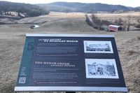
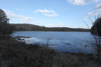
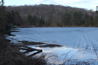
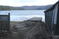
Meech Lake: this 12km was budgetted to take 35 minutes and took me 2h40 due to north facing trail 50 hills covered in snow/ice and a trail 36 not passable by three wheels at any time of year let alone with snow, ice, puddles, mud, roots and rocks.
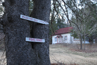
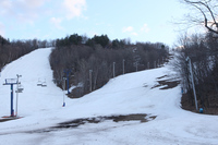
Camp Fortune Meech:
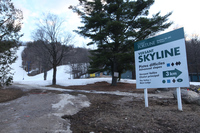
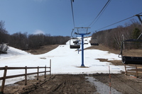
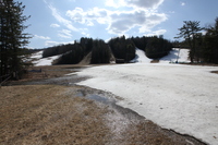
Camp Fortune Skyline